The Great Storm of 1987: How UK Weather Warnings Changed
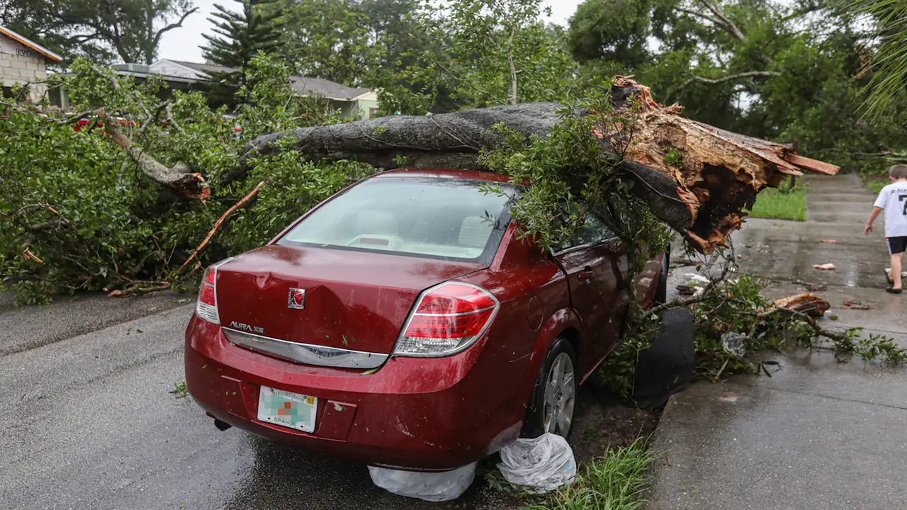
On the night of 15–16 October 1987, a powerful storm struck southern England, bringing destructive winds and widespread damage. Its overnight passage meant many people were asleep as conditions worsened. The Great Storm became a lasting test of how forecasts are communicated: the Met Office’s historical case study records the event, while later changes to forecasting and warning services reflect lessons about making severe weather risks clearer and more useful to the public.
What happened during the Great Storm
The storm crossed southern England overnight, toppling trees and damaging buildings and infrastructure. The Met Office’s account provides a historical record of the event and its effects. It remains an important starting point for understanding why the storm is remembered in discussions of forecasting and public warnings.
Figures for deaths and damage are often repeated in anniversary coverage, but they should be tied to a specific authoritative record and definition. Counts may differ depending on whether they include indirect deaths or which types of damage are measured. The Met Office case study is a sound starting point for the history; precise totals should be checked against the underlying official records before being quoted. That caveat matters because a headline figure without its definition can give readers a misleading sense of what was counted.
Read also: The Great Storm of 1987: Met Office Timeline and Lessons
The storm is remembered not only for its force but for the gap between a forecast and the warning people understood. A forecast describes expected conditions; a warning must also help people judge the threat and decide what action to take. Knowing that severe weather is possible is different from understanding its likely effects, the places at risk and the urgency of responding. That distinction became central to later improvements.
How forecasting and warnings evolved
Forecasting depends on observations, computer models and forecasters’ interpretation of how a weather system may develop. Since 1987, those tools and the way forecasts are shared have changed substantially. Better computing, satellite observations and numerical weather prediction have expanded the information available to forecasters, while public access to updates has moved beyond scheduled broadcasts and printed forecasts.
Warning systems have also developed to communicate impacts and urgency more directly. The Met Office now uses impact-based warnings, with colour levels intended to help people understand the potential consequences and likelihood of severe weather. A warning is most useful when it makes clear what may happen, where and when it may happen, and what people can do in response. The emphasis on impacts helps connect a weather forecast to the decisions people may need to make.
The practical lesson is that a technically sound forecast does not automatically become an effective public warning. Messages need to reach people in time, explain uncertainty honestly and connect the predicted weather to likely effects. Communication channels matter too: people now commonly receive alerts through websites, apps, broadcast media and other digital services. Wider access creates more ways to share updates, but readers still need to check the warning itself for its area, timing and stated impacts.
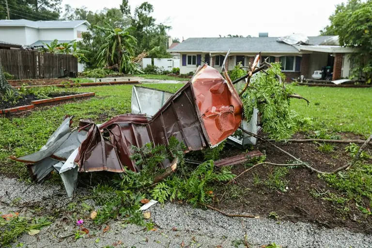
These changes do not make forecasting certain. Local effects can vary, and the timing, track or strength of a storm can remain uncertain. Warnings therefore communicate risk, not a guarantee that every place within an area will experience the same conditions. That uncertainty is part of why warnings describe the likelihood and possible consequences, rather than promising a precise outcome for every location.
What the public can learn from the storm
The 1987 storm remains a useful reminder to take severe-weather information seriously and to look for the action attached to a warning. For current conditions, readers can check the Met Office’s warning page for the affected area, read the expected impacts and follow advice from local authorities and emergency services.
A warning’s colour is only part of the message. The affected locations, validity period and stated impacts help explain whether risks may include dangerous travel, damage or disruption. Conditions can change, so checking for updates matters when a warning is active. This is the practical difference between recalling a past storm and responding to a current warning: the anniversary provides context, while live information provides the details for decisions today.
Why the 15–16 October anniversary still matters
The anniversary is a historical lens on how the UK communicates weather risk. It is not a report about today’s weather, and the 1987 event should not be used to imply that a similar storm is currently forecast. For present-day conditions, consult current warnings rather than relying on an anniversary article.
The Great Storm of 1987 remains part of the history behind the expectation that forecasting should lead to timely, understandable warnings that help people make decisions. The tools, channels and warning messages have developed since then, while the need to understand a warning’s likely impacts, timing and uncertainty remains.
Source: Met Office
Context & actions About this article
Source check Historical context
The Met Office provides the historical case study; casualty and damage totals need confirmation against authoritative records before publication.
- Event date: 15–16 October 1987
- Geographic focus: southern England
- Check casualty and damage totals against authoritative records
- Current weather conditions require current warnings
- Source
- Met Office
- Scope
- Southern England
- Updated
- 2026-10-22 08:31
Source check
Report a trust issue
Send a clear signal to community moderation if the source, facts or context need review.


Comments